Awards
Recognizing Achievements
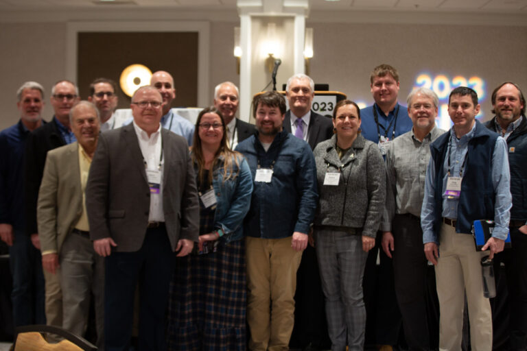
Since the first conference that was held in 1987, the NC GIS Conference has recognized outstanding achievements using GIS within North Carolina. NCGIS2025 continues that tradition. All local governments and educational institutions with geography/GIS programs are encouraged to apply and showcase your ingenuity and hard work.
For Local Governments

Sponsored by the NC Geographic Information Coordinating Council and presented since 1993, the G. Herbert Stout Award was created to recognize the innovative use of geographic information systems (GIS) by local governments in North Carolina. The robustness of GIS across the state ensures that winning this coveted award is a true symbol of pride for local GIS departments.
Who Can Apply
Each local government may submit an entry on behalf of its respective city, town, or county within North Carolina. Applications must be submitted by a local government entity; applications from private companies representing local governments will not be accepted. A panel of GIS professionals from state and local government will judge submissions.
Submitting an Application
Applicants should submit a narrative (max 3 pages) describing their innovative use of GIS technology and a digital image of the application or map. Other materials such as charts and diagrams may be added to support the submission. The application must be operational at the time of submission. Submissions should describe a GIS project that:
- Reflects one or more of the most common GIS patterns: Mapping and Visualization, Data Management, Field Mobility, Monitoring, Analytics, Design and Planning, Decision Support, Constituent Engagement, and Sharing and Collaboration
- Benefits the organization in one or more ways: improved efficiency, cost savings or reduction, or increased productivity.
- Why is this implementation of GIS innovative?
- What problem was intended to be solved?
- Which GIS stakeholders, partners and/or entities were involved?
- Explain the implementation phases and decisions.
- What problems were actually solved?
- How is the application used within the organization?
- Who are the users?
- What are the local government operations affected?
- What has been the direct impact to citizens, the community and/or region?
- Describe the application’s quantitative and/or qualitative impact.
- What effect has there been on productivity and/or decision making?
How to Submit
Entries may be sent via email, US mail, or overnight delivery by January 31, 2025.
via US mail:
Matt McLamb
Center for Geographic Information and Analysis
ATTN: G. Herbert Stout Award
20322 Mail Service Center
Raleigh, NC 27699-0322
via Overnight delivery:
Matt McLamb
Center for Geographic Information and Analysis
ATTN: G. Herbert Stout Award
3700 Wake Forest Road
Raleigh, NC 27609
For Educational Institutions and Students

Purpose
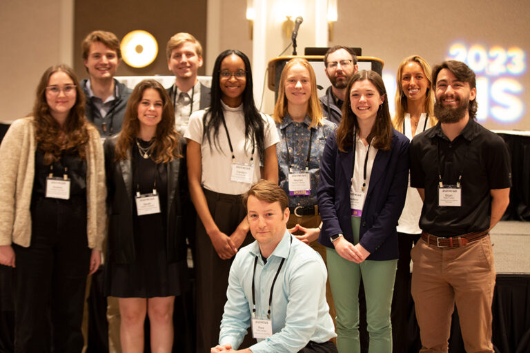
The G. Herbert Stout Award for Innovative Student Papers was created to recognize the study and application of geographic information systems (GIS) in educational settings in North Carolina. Most colleges and universities have historically participated and participation illustrates the vibrancy of the academic community in the State. It also gives students an opportunity to gain experience and contribute to the broader GIS community in a professional conference setting.
How it Works
Each participating educational institution selects students based on criterion they deem suitable. It can based on a class project, grades, or any other metric. An institution offering graduate level degrees may submit a maximum of two students (i.e., one graduate and one undergraduate). Those institutions that do not offer graduate degrees, including community colleges, may submit one student for this award.
What They Get
The conference will offer a special program track for student award winners. Winners will participate on the program in this track and must make a presentation on a GIS topic. The length of the presentation is still to be determined but will likely be 15-20 minutes depending on how many schools participate. In addition, each student will receive a free full student registration for the conference, recognition at the awards luncheon on Thursday, and a cash award of $200.
How to Participate
If an institution would like to participate in the student award program, institutions should submit their award winner(s) no later than February 7th, 2025. Please indicate the number of award winners along with their category (i.e., undergraduate, graduate, both). Also, please be sure to include an email address for your student(s) so that we can work directly with them to obtain the presentation title (so it can be added to the program) and their contact information.
Please contact Tim Johnson (919-754-6588) for submissions or questions.

